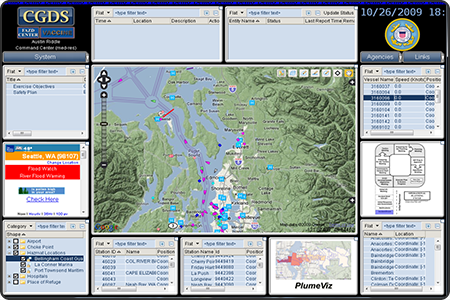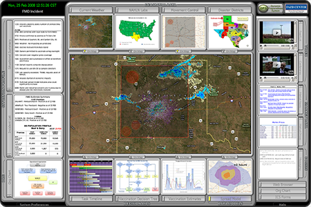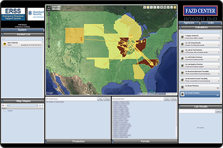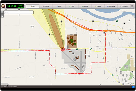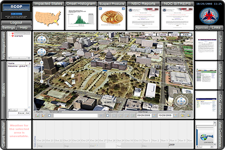
A web-based information dashboard that provides analysts from the National Biosurveillance Integration Center the ability to track and monitor disease outbreaks across the world. This tool provides a common integrated view of the information for both situational awareness and decision-making, and is has been deployed for use in a 24/7 Department of Homeland Security command center.
Sponsor: U.S. Department of Homeland Security – Science and Technology Directorate
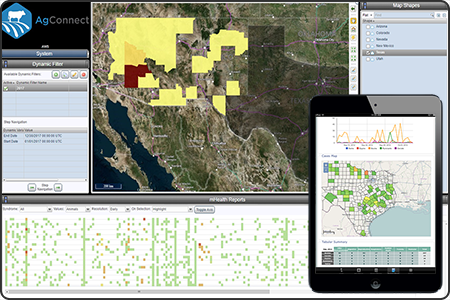
- Competencies: Data Fusion, Data Visualization, Data Analytics
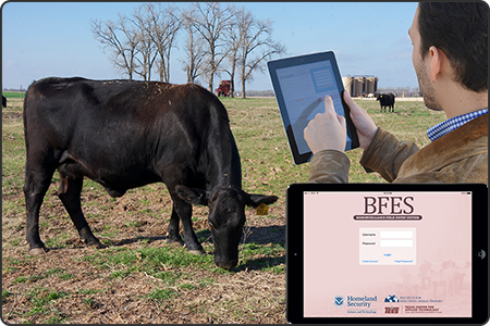
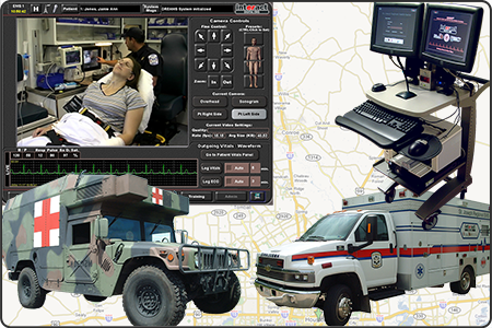
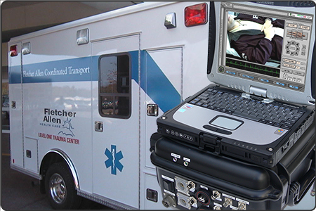
- Industries: Agriculture, Emergency Response, Federal Agencies, National Security